Panorama and topo map of the Tooth of Time

Post requests, images, descriptions and reports about work in progress here.
Avatar
Topic author
selden
Developer
Posts: 10192
Joined: 04.09.2002
With us: 22 years 7 months
Location: NY, USA

Panorama and topo map of the Tooth of Time

Post #1by selden » 02.05.2006, 18:40

I've created a cylindrical panorama from a photograph taken by Julian Love of BSA Troop 116 (Charlotte, NC). The Addon also places a topographical map on a 3D model of the area around the New Mexico mountain known as the Tooth of Time.

See http://www.lepp.cornell.edu/~seb/celest ... s.html#2.0

Image
Selden

Avatar
Topic author
selden
Developer
Posts: 10192
Joined: 04.09.2002
With us: 22 years 7 months
Location: NY, USA

Post #2by selden » 07.05.2006, 21:12

The next stage is to provide a 3D topographical Addon of all of Philmont Scout Ranch. This shows the 11 adjacent topographical regions that include the Ranch. Unfortunately, 3DEM (the conversion program I'm using) has some problems at the northern and eastern edges of its images.

The white spots are locations of many of the camps on the Ranch.

Image
Selden

Dollan
Posts: 1150
Joined: 18.12.2003
Age: 55
With us: 21 years 4 months
Location: Havre, Montana

Post #3by Dollan » 08.05.2006, 00:33

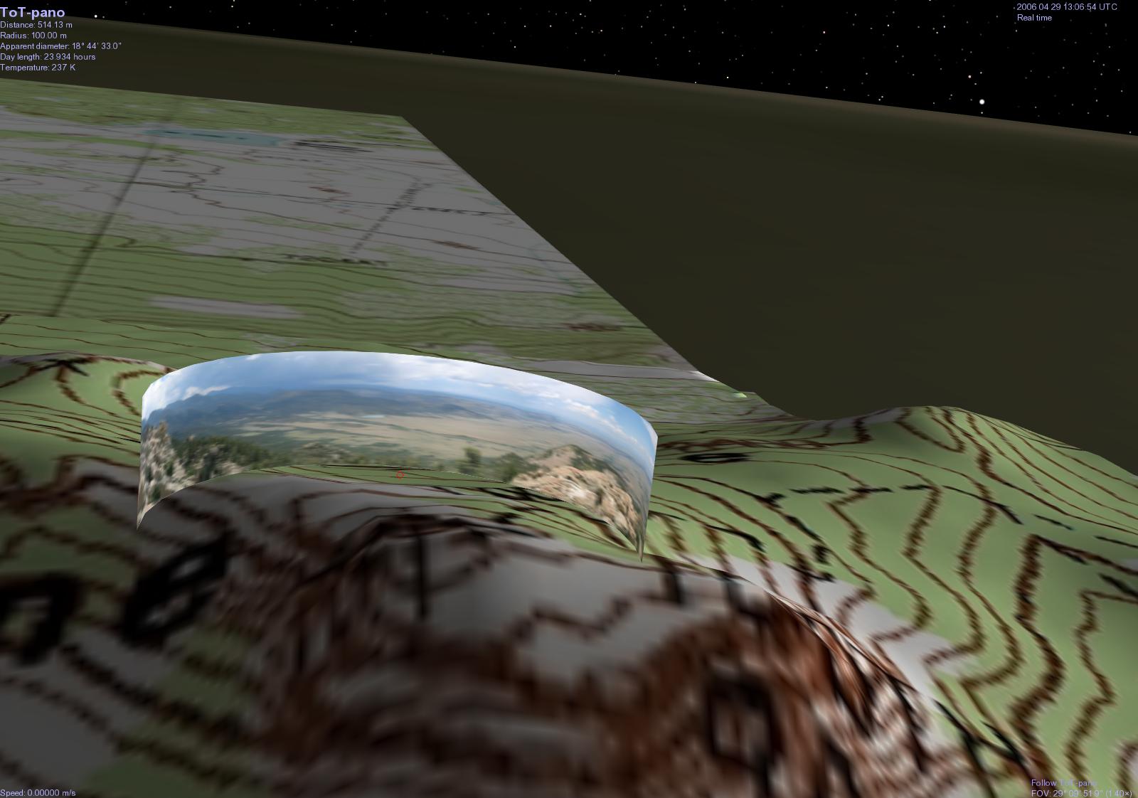
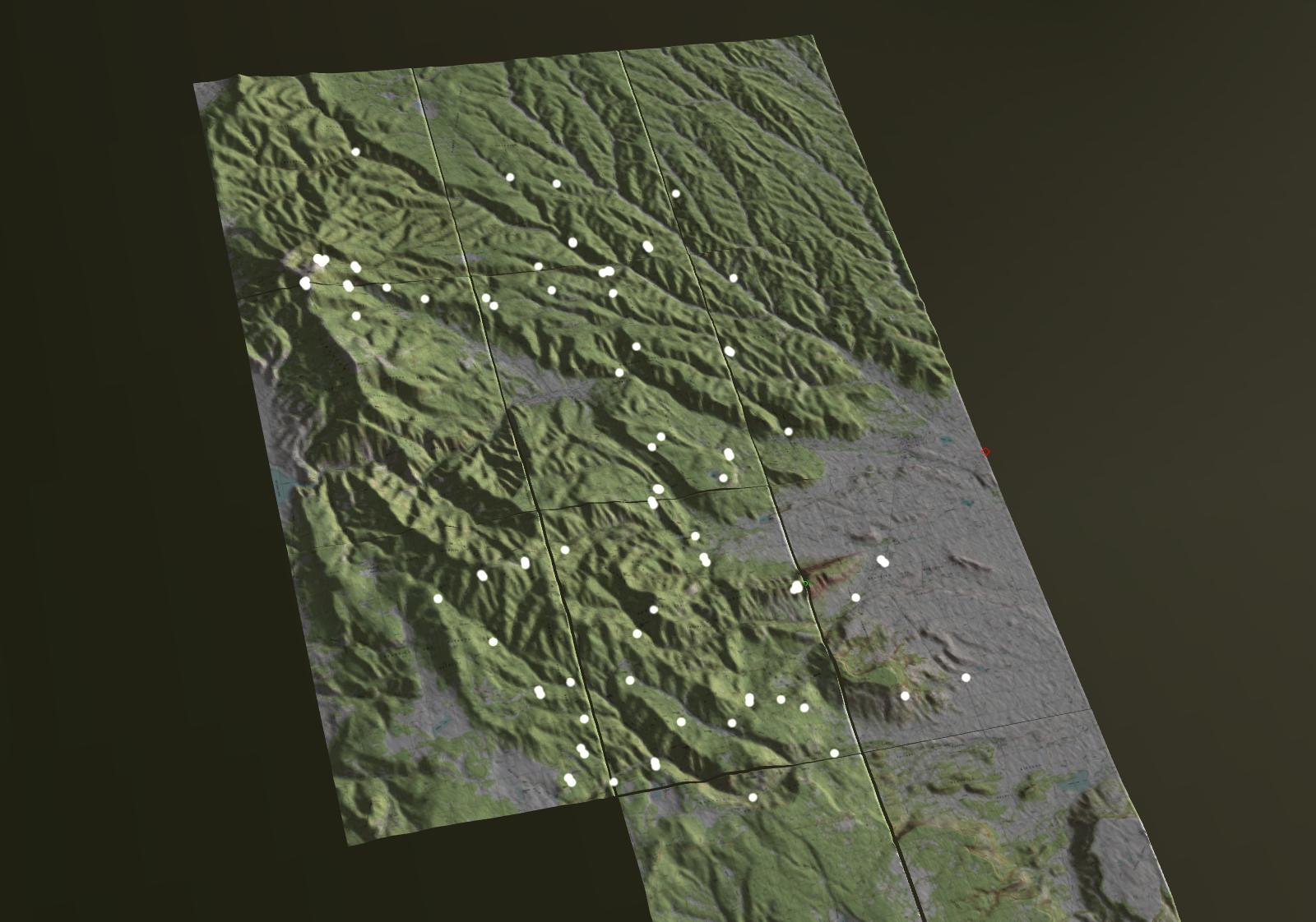
So why this particular locale? I used to live in New Mexico, but my attention was either on the nearby Guadalupe Mountains (or specific portions of it), or Carlsbad Caverns (about 15 miles from where I lived).


And more importantly, when will it be available? I'm starting to think that I should have a Celestia installation just for your stuff!

...John...
"To make an apple pie from scratch, you must first create the universe..."
--Carl Sagan

Avatar
Topic author
selden
Developer
Posts: 10192
Joined: 04.09.2002
With us: 22 years 7 months
Location: NY, USA

Post #4by selden » 08.05.2006, 08:57

The reason is Philmont Scout Ranch.

See http://www.lepp.cornell.edu/~seb/philmont.html

I don't know when it'll be available. Hopefully in a week or two. There are lots of things that are incomplete about what I've done so far. Getting the maps to align properly on the models, for one, and the correct locations of the models, and the altitudes of the camp locations.
Selden


Return to “Add-on development”