Page 1 of 1
World political map?
Posted: 23.04.2003, 07:45
by timcrews
Does anyone know a source for a world political map that shows country/state/province boundaries in a cylindrical projection suitable for use with Celestia? I had in mind to use it as a non-moving cloud layer over the earth surface texture, similar to the place names layer that was added to the RGB mars textures.
I really love zooming in to the 16K earth texture, but it's easy to get lost, and a political map overlay would satisfy my curiosity.
Thanks,
Tim Crews
Posted: 23.04.2003, 18:17
by jamarsa
Perhaps it should be dynamic, connected to the CNN, as this changes too quickly in these days...

Posted: 23.04.2003, 20:05
by timcrews
Hey, if someone gives me something to start with, I will be glad to keep it up to date. What's the worst-case scenario -- a new country every few months?
Posted: 23.04.2003, 22:56
by Psykotik
Very strange; IMHO, we're going to have only ONE country, which could be easier to manage for Celestia.
In the worst case, there'll be a country less every few months

Posted: 24.04.2003, 22:09
by Buzz
You could try this site:
http://lorenz.mur.csu.edu.au/cgi-bin/gis/Map
some tips:
click advanced, set the bounding rectangle (for more detail you would have to create multiple bordering maps), choose xy plot as projection, put nothing in grid spacing, set land, sea and lake colour to 255/255/255. Good luck! (I used this site to create a new specular map)
Posted: 24.04.2003, 23:50
by timcrews
Thanks for the link to the map generator program.
I used it to generate a map, and I converted it to a cloud map. It did work.
Unfortunately, the map generator can only generate very low resolution maps. I could only generate a 1K cloud map, and even then I had to resize it up quite a bit from the less than 700x350 that was produced by the map generator. The effect being, some of the boundary lines on the cloud map are larger than the countries that they delineate, and the lines are badly smudged.
So I think I really need to find at least a 2Kx1K map to start with. In fact, with my GeForce 4 I think I could go to 4K if I could find the right source data.
Thanks again,
Tim
Posted: 26.04.2003, 15:47
by Buzz
Hi Tim,
To get a higher resolution map, you could make multiple sub maps and combine them in a graphics tool later. That is what I did to create an 8k specular map. I know, it does take some patience...
Buzz
Posted: 27.04.2003, 00:34
by timcrews
Buzz:
Thanks for that pointer. I did what you suggested, splitting the world up into 8x4 45-degree chunks, cropped all of the images to get rid of the border that the map generator puts around each map, stitched them all together, resized down the result slightly to get 4096x2048, and created a cloud texture PNG file with the map outlines being in the Alpha channel.
Layed over the earth, the result looks much better now. 4K resolution is definitely enough to adequately represent national borders and bodies of water down to 1000 square kilometers in size. There is a very slight offset in some portions of the map, so that the country borders are just barely to the east or west of where they should be, but this is hardly visible.
I can e-mail the file to anyone who would like it. I don't have any web space. It is about 750K .
When I get more free time, I will add some text labels to this map.
Tim Crews
Posted: 27.04.2003, 16:43
by Buzz
Hi Tim, I'd like to see what you made!
Buzz
Posted: 27.04.2003, 17:35
by ANDREA
timcrews wrote:Buzz:
I can e-mail the file to anyone who would like it. I don't have any web space. It is about 750K .
Tim Crews
Hello Tim, I would like to receive it.
My e-mail is
mc3657@mclink.it
By and thank you
Andrea
Posted: 27.04.2003, 18:16
by ElPelado
timcrews, im ElPelado. you sent me the map, but i cant see it, even in the ACDSee or internet explorer.
maybe its because of his 4k
do you have one with only 2k?
Posted: 27.04.2003, 21:14
by timcrews
Note that the actual map data is in the alpha channel, so to see it, you will need to use an editor that can show you the alpha channel.
Also, only GeForce 4 or later can view a 4K cloud map. At least, I think I remember seeing this information in a previous article on the forum. If you do not have this hardware, when you request a copy from me, make sure to specify that you want the 2K version of the map. I will rename the original map to reflect that it is a 4K map.
Also, I must make the disclaimer that Celestia has locked up on me a few times while I was viewing the Earth with this new cloud map.
Tim
Posted: 30.04.2003, 22:57
by JackHiggins
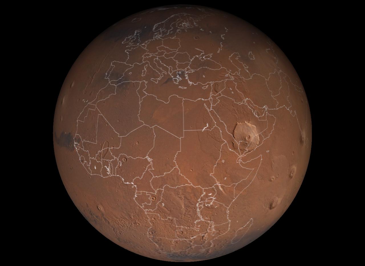
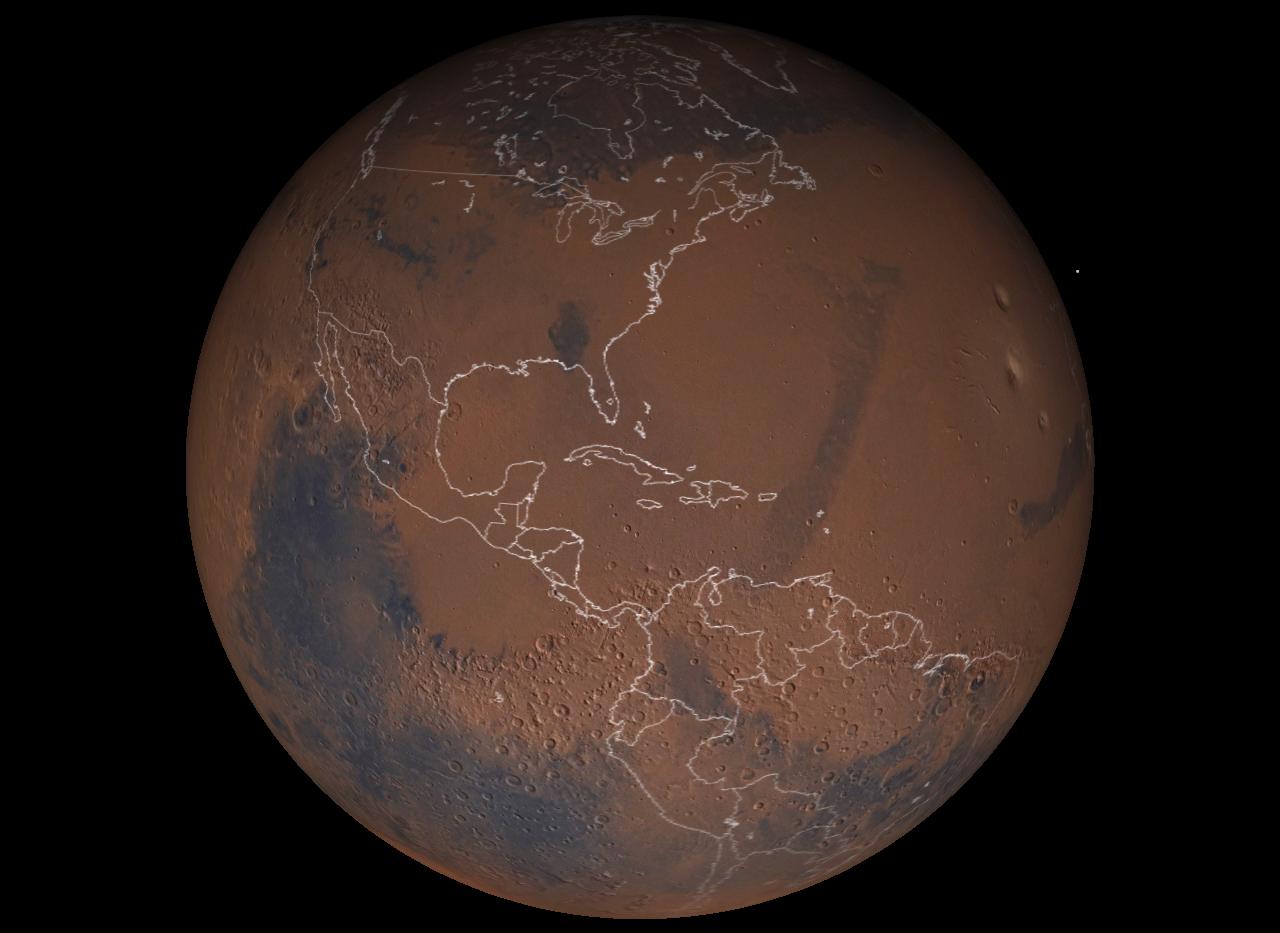
Here's a thought- what would the world map look like- on mars?! Remember, this is only a scale model, so the countries real area is greater than represented here:


This doesnt mean I think we should all take over parts of mars btw...
Posted: 30.04.2003, 23:06
by timcrews
Crazy, man!
Tim
Posted: 01.05.2003, 00:07
by bh
Jack...you're an odd fellow, but you steam a great clam.
1990 era borders?
Posted: 01.05.2003, 00:09
by ogg
Hmmm, given that those borders have Germany unified but the Soviet Union, Yugoslavia, Czechoslovakia and Ethiopia all still intact, I guess that's a 1990 Cold-War era political map of Mars... still mostly the 'Red' planet?

Posted: 01.05.2003, 19:33
by JackHiggins
Good one!!

I notice north & south Yemen haven't reunited yet either...
Posted: 26.06.2003, 20:50
by billybob884
tim (or anyone else that has it) could u send it to me?
billybob884@hotmail.com
Posted: 26.06.2003, 21:25
by ElPelado
I think that there is an error: there is one line between urugay and brazil that should not be. uruguay is correct and argentina too, but there is one "new" country drown there that doesn't exist.
Posted: 26.06.2003, 21:37
by JackHiggins


